CCAP worked with partners in Kootenay & Boundary to deliver projects that equip producers to adapt to climate change.
Many projects flow from the 2019 Kootenay & Boundary Adaptation Strategies plan that outlines:
- 4 climate issues of top concern to producers
- 12 strategies for responding to the issues
The regional adaptation plan was developed over 12 months.
Climate projections and top issues
This section highlights a subset of climate projections important to agriculture in Kootenay & Boundary. The projections are for the 2050s and also help illustrate climate change trends.
Temperature
- 1.9°C to 4.4°C increase in annual average temperatures
- 39 to 63 more frost free days annually
Precipitation
- 12% increase in average spring precipitation (0% to +19%)
- 12% decrease in average summer precipitation (-33% to +2%)
Extremes
- Increase in frequency and magnitude of extreme rainfall events
- Average of 17 days over 30°C annually, up from 4 days
These projections, provided by the Pacific Climate Impacts Consortium, are in comparison to the baseline historical period of 1971-1990.
The full set of projections were shared during the regional planning process where producers discussed how the anticipated changes would likely affect their operations. Then they identified four climate issues as their top concerns.
1. Warmer & drier summer conditions
Summer conditions are typically dry in the Kootenay & Boundary region and will become hotter and drier with climate change. The amount of farmed land that is irrigated varies across the region, from 50% in East Kootenay to 10% in the Boundary area. Demand for irrigation is expected to increase with drier summer conditions.
Some water systems in the region have already been unable to meet peak demand. The Central and East Kootenay regional districts reached a Level 3 drought in 2015. In 2017, the Boundary regional district reached a Level 4 drought — the most extreme level.
2. Increasing wildfire risk
Climate change is increasing the risk of more frequent and severe wildfires in the Kootenay & Boundary region. In 2020, the region experienced multiple severe wildfires, including the Doctor Creek and Talbot Creek wildfires. In 2018, smoky conditions from wildfires elsewhere in BC resulted in several weeks of poor air quality, impacting crop and livestock health across the region.
In 2015, the Boundary regional district experienced a significant wildfire season. Fire destroyed structures on more than 50 properties and burned kilometres of livestock fencing and hundreds of hectares of ranch land.
3. Increasing variability & changing crop suitability
Shifting and unpredictable temperature and precipitation patterns and an increase in extreme events are resulting in more variability in seasonal conditions. This creates more challenges with farm management decisions.
Crop suitability may shift in some areas, reducing the viability of current crops/varieties and increasing the potential of others.
4. Increasing risk of spring flooding
Flood risk in the Kootenay & Boundary region is most pronounced in spring. Flooding is usually caused by rapid melting of a thick snow pack, heavy rainfall and/or ice and debris jams. With climate change, earlier and/or more rapid melt — as well as changing precipitation patterns — is likely to increase flood risk.
This region has the largest number of individual floodplains in BC. Much of the agricultural land in the region follows valley floors and rivers and is therefore vulnerable to flooding.
Producers can be impacted by large-scale floods, as experienced on the Kettle and Granby rivers in 2018, or site-specific floods on smaller waterways. Addressing flood risk requires both farm-level and landscape-level planning and mitigation approaches.
Projects
Many of these projects are a direct response to the adaptation strategies and top issues outlined in the Kootenay & Boundary Adaptation Strategies plan. The projects are developed by CCAP with oversight and input from a regional working group.
Other projects deliver applied research that supports climate change adaptation at the farm level. These 2-4 year projects fall under the Farm Adaptation Innovator Program.

Regional climate and production systems
Historical climate and production capacity
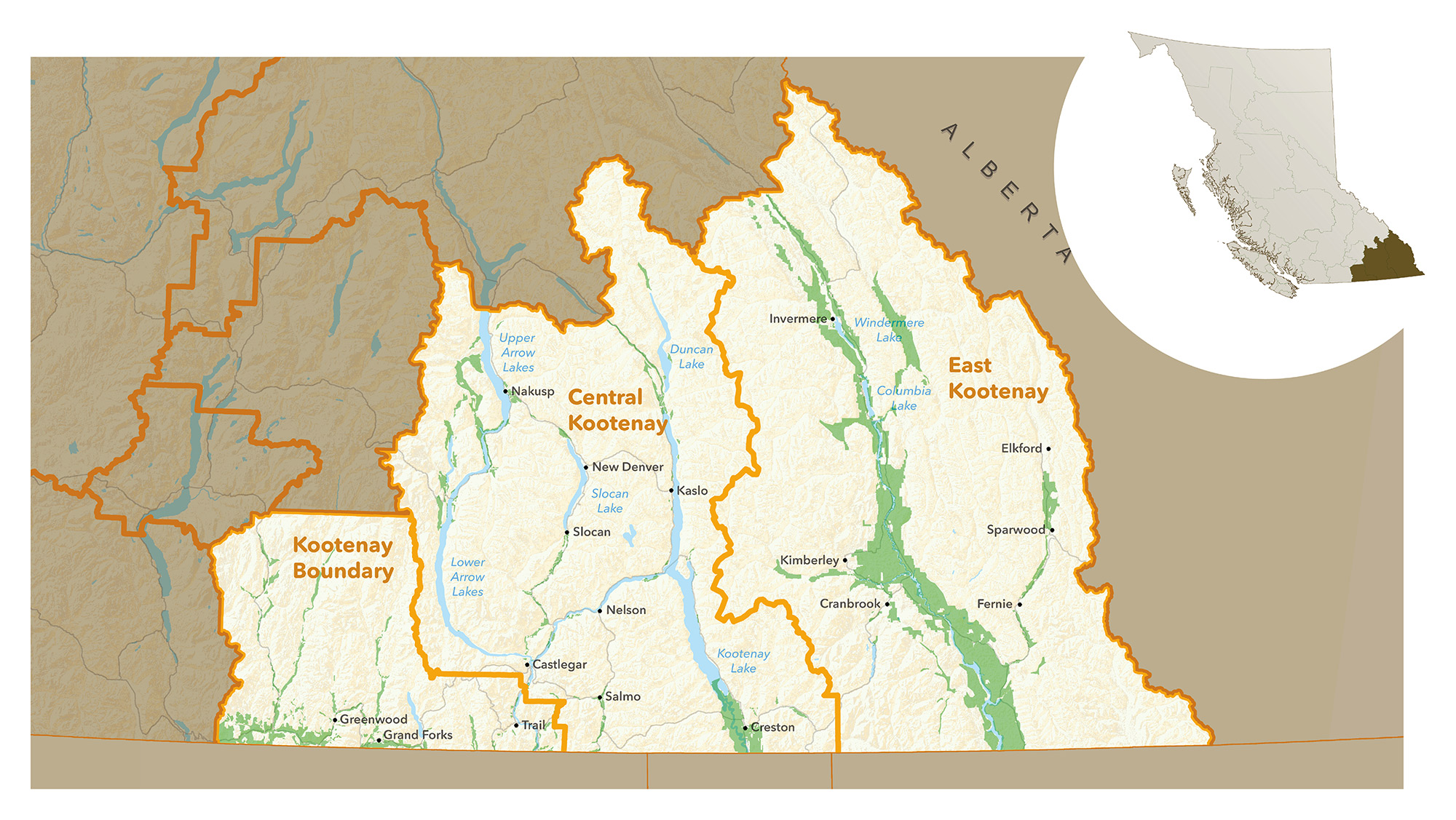
This region includes the following regional districts:
- Regional District of Central Kootenay
- Regional District of East Kootenay
- Regional District of Kootenay Boundary
Summers in Kootenay & Boundary are generally hot and dry, and winters vary from mild to severe. Winter temperatures are slightly milder in the Boundary area. The average frost-free period is about five months long, with a slightly longer growing season in the western part of the region.
Due to the region’s diverse topography, temperature and precipitation can vary greatly across small distances. While Creston gets around 649 millimetres of precipitation annually and Grand Forks 531 millimetres, the Slocan Valley receives closer to 1,300 millimetres. Precipitation falls relatively evenly throughout the year.
Valleys are spread throughout the Kootenay & Boundary region, tucked between four mountain ranges. Most agricultural production takes place in these valleys where much of the land is privately owned. Crown land makes up about 91% of the region’s land base.
Agricultural production is limited, mostly due to the mountainous topography and soil type and quality. Soils vary considerably throughout the region, from class 2 through 6.
In 2016, close to 382,000 hectares were included in the Agricultural Land Reserve.
Agricultural production
In 2016, the Kootenay & Boundary region was home to 1,157 farms – 7% of the farms in BC. Farm size varies across the region, with farms averaging 205 hectares in the Regional District of East Kootenay and 40 hectares in the Regional District of Central Kootenay. This is largely because of differences in production types, due to soil and climatic factors.
Ranching is common on the larger acreages in the East Kootenay and Kootenay Boundary regional districts. Forage and pasture make up about 95% of cultivated land in East Kootenay and are also the main crops in Kootenay Boundary.
Tree fruit orchards, market gardens and dairies are more prominent in Central Kootenay. The region is also home to 10% of BC’s organic farms.
Many local initiatives support and promote local food production and/or consumption. The region is home to over 15 farmers’ market locations, and almost 40% of farms reported participating in some form of direct marketing in 2016.
For a complete regional overview, read the plan: